Tō tātou rohe Our Region
The Greater Wellington region stretches from the north of Ōtaki on the west coast, across to north of Castlepoint on the east coast.
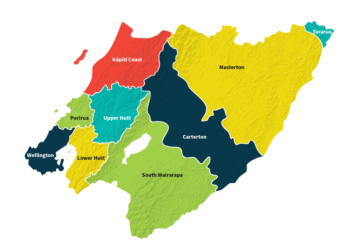
It takes in Kāpiti Coast, Porirua, Wellington City, Hutt Valley and the Wairarapa and covers 8,111km2 of the lower North Island. We have a coastal marine area of 7,867km2 with almost 500km of coastline and there are 320km of rivers and waterways.
Over 550,000 people live, work and play here with more than three quarters of them living in one of our four cities. Our communities are ethnically and culturally diverse making our region rich and vibrant. Our region boasts the most used public transport system in New Zealand and the lowest rate of car ownership. We have the busiest port by ship movements and the most efficient port in Australia and New Zealand*.
Over the past 10 years, the variety and number of native bird species has increased, as has the range of areas in which they live. There are eight regional parks covering more than 330km2 which are enjoyed by thousands of people each year.
There’s no other region quite like this one, from sparsely populated rural and coastal areas to the full-on energy of the capital city. There’s a lot to be proud of and a lot to protect.
*According to the World Bank Container Port Performance index.